|
Figure 2
Sowbelly Canyon is located in extreme northwestern Nebraska. |
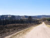
Figure 3
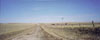
Sowbelly Road on the high plains, three miles south of Pine Ridge. |
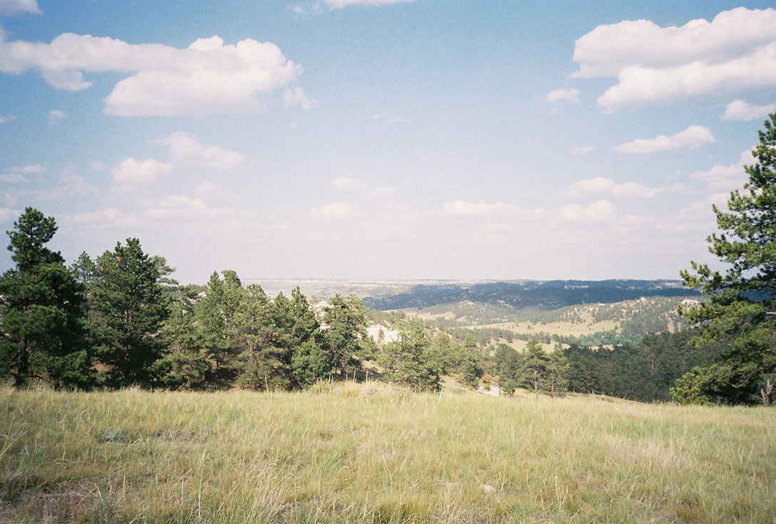
Figure 4
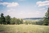
Looking north across Sowbelly Canyon to the short-grass prairie beyond it. |
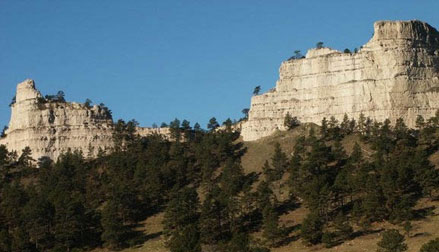
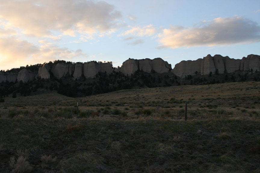
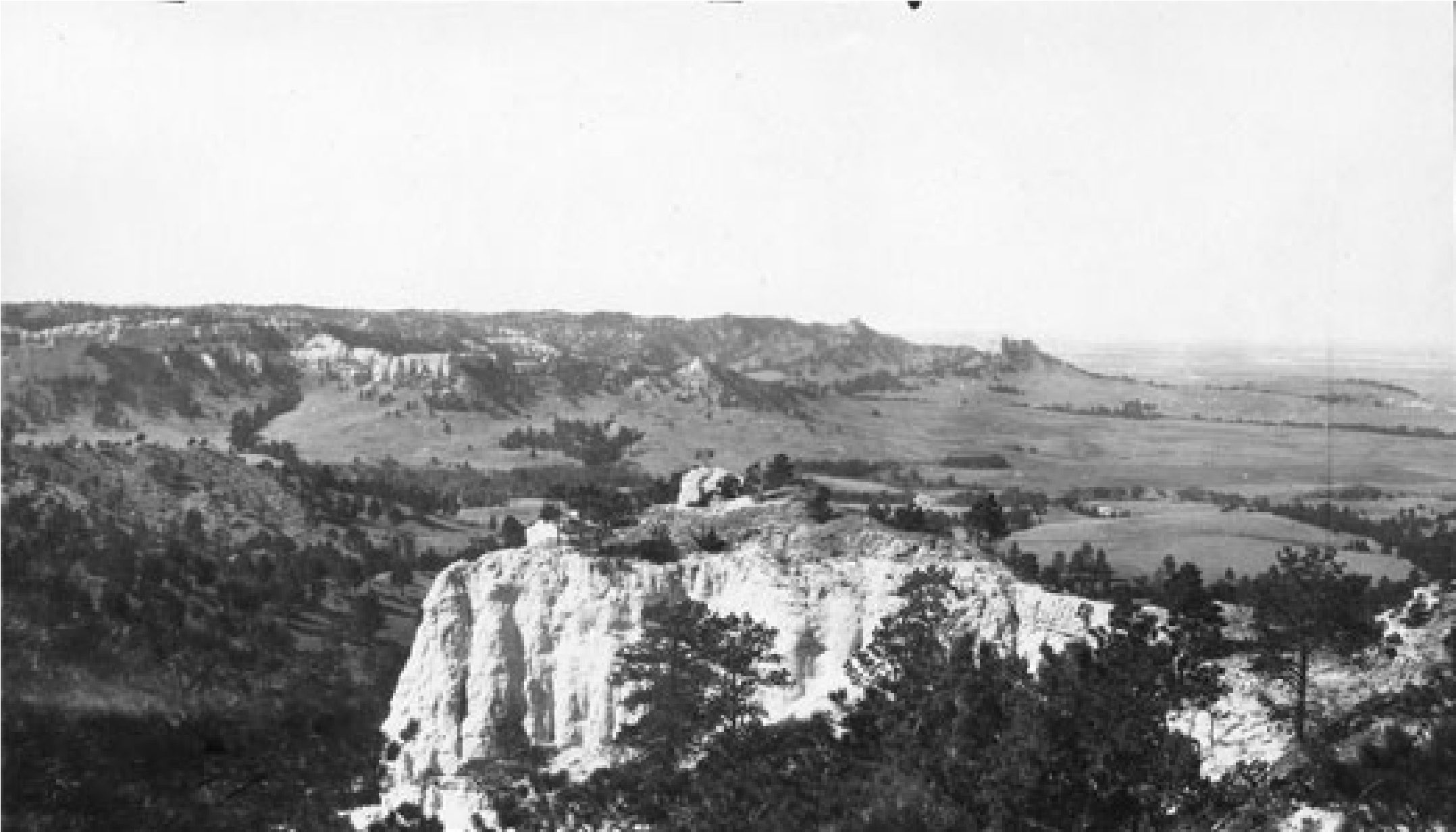
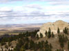
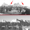
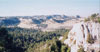
Figure 5
Prominent buttes within Sowbelly Canyon. |
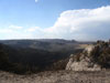
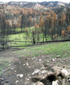
Figure 6
Promontory at the north end of the canyon, short-grass prairie and badlands beyond it. |
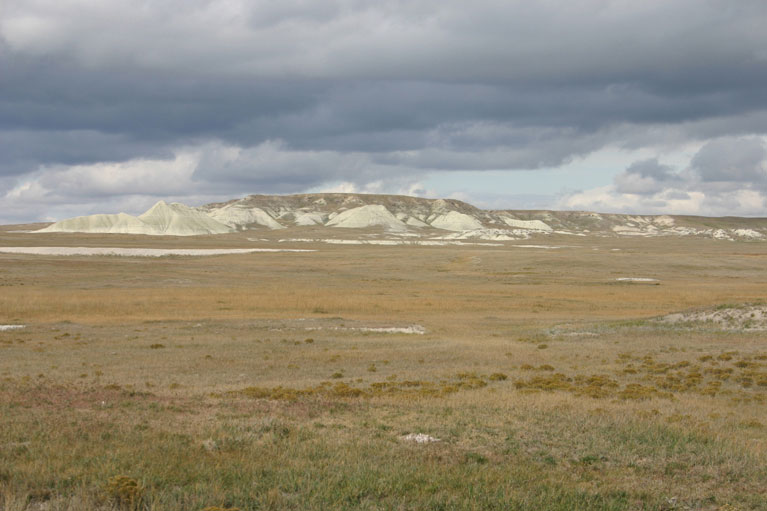
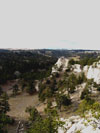
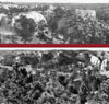
Figure 7
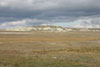
Short-grass prairie and badlands north of Pine Ridge. |
Figure 8
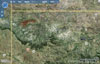
Satellite photograph of the Pine Ridge area, visible here as green arc concave to the north. The high plains rise to the south edge of the Ridge and then drop abruptly to the short-grass prairie to the north. |
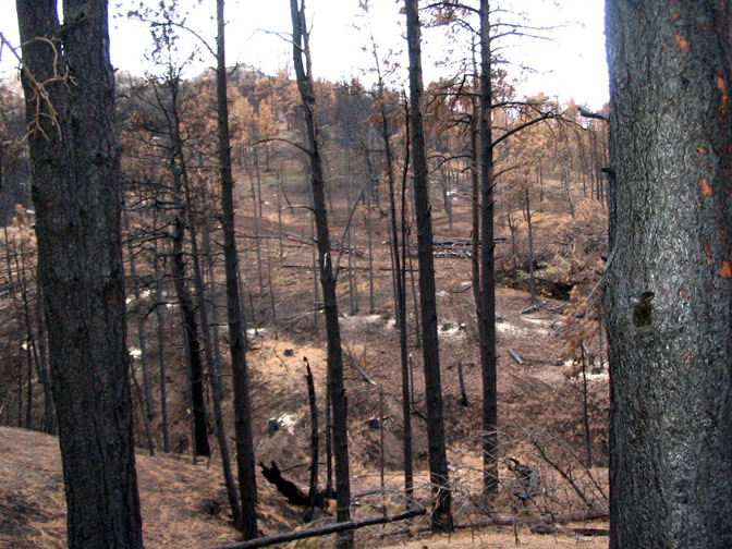
Figure 9
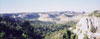
North-south tending canyons carved by stream erosion furrow Pine Ridge. This one is Sowbelly. The view is from the canyon's east rim and looks west. |
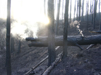
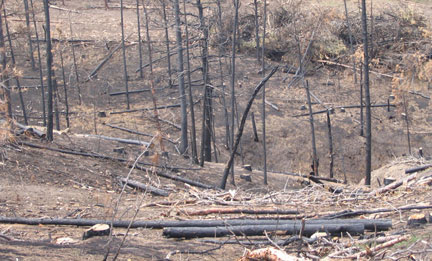
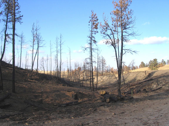
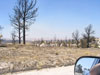
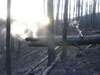
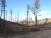
Figure 10
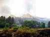
Fire burns trees along the slopes of Sowbelly's buttes. |
|
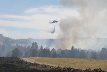
Figure 12

A helicopter carries water to the flames in Sowbelly Canyon. |
Figure 13
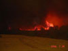
The miles-long swath of fire lit the sky red at night. |
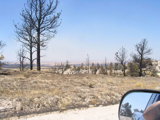
Figure 14
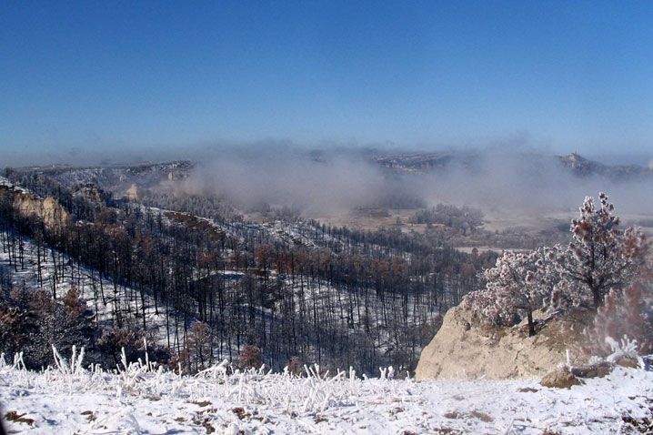
Coming home. This picture shows the first view we saw of the canyon after the fire, from the rim. |
Figure 15
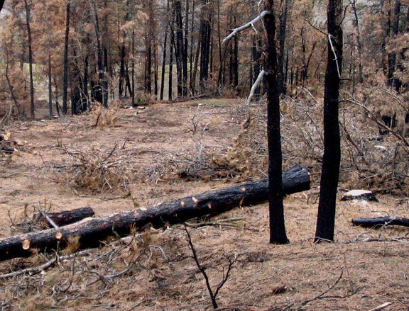
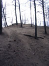
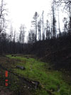
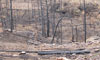
The same view of the canyon as seen in Figure 9, the day we returned after evacuation. Notice the edge of the burn on the ground at the far side of the canyon. |
Figure 16
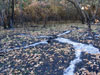
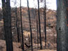
The burn within the canyon on the road to our home. |
|
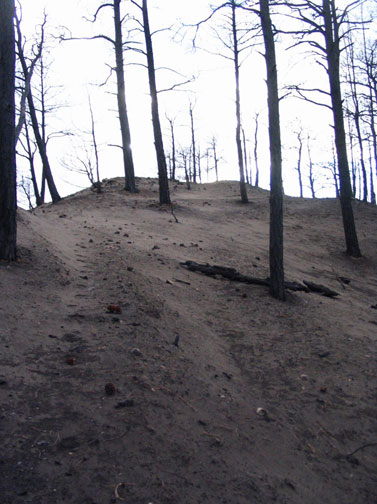
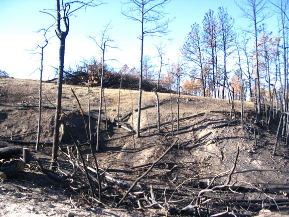
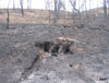
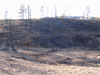
Figure 18
In some places, the entire soil layer was burned off -- here, to underlying sand. |
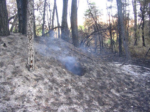
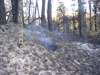
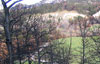
Figure 19
The forest was still smoldering when we returned, and burned for weeks in stumps and individual trees. |
Figure 20
Even roots far beneath the earth's surface were still burning when we got home. |
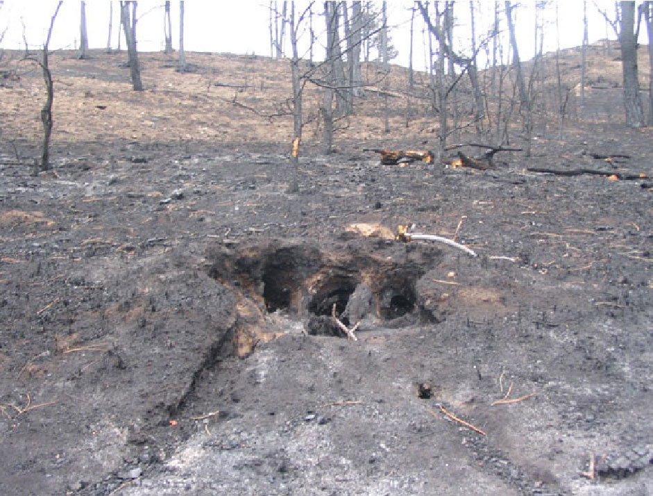
Figure 21
The holes where trees' roots had been were visible in the holes left by trees that had burned entirely to ash. |
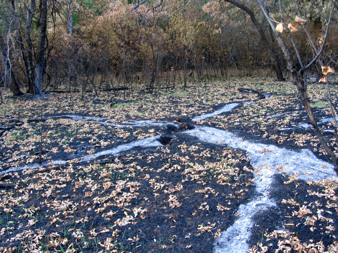
Figure 22
Here, two trees burned completely to ash without setting fire to the brush behind them. |
Figure 23
A place where four trees burned, fell, and then finished burning completely to ash -- without setting fire to surrounding vegetation. |
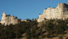
Figure 24

The cliffs of Pine Ridge near Fort Robinson that were scaled by the Cheyenne on the night of January 9, 1879. |
Figure 25
The land the Cheyenne fled across during January of 1879 is rugged. Firefighters had a very difficult time getting into the landscape when it burned. The cavalry had an equally hard time trying to get into it on horseback when they were chasing the Cheyenne. The Cheyenne crossed it on foot in sub-zero temperatures and snow, with wounded people and young children. |
Figure 26
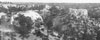
This picture looks east along Pine Ridge from the eastern side of Sowbelly Canyon. The fire started in the middle distance at about the horizon. This image is one of those taken in 1924 by geologist Jesse Earl Hyde of Case Western Reserve University. It is from the CWRU Department of Geological Sciences collection and is used with permission. |
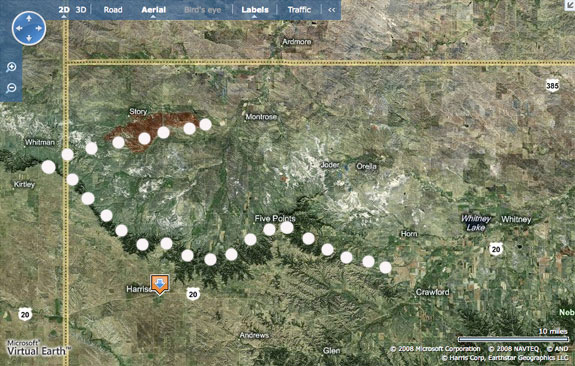
Figure 27
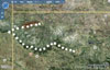
The path of the Northern Cheyenne during the Outbreak. Fort Robinson is located on the southeastern end of the white-dotted trail. The Last Hole is located at the northern end of the same trail. Wildfires have burned two-thirds of the trail area now. |
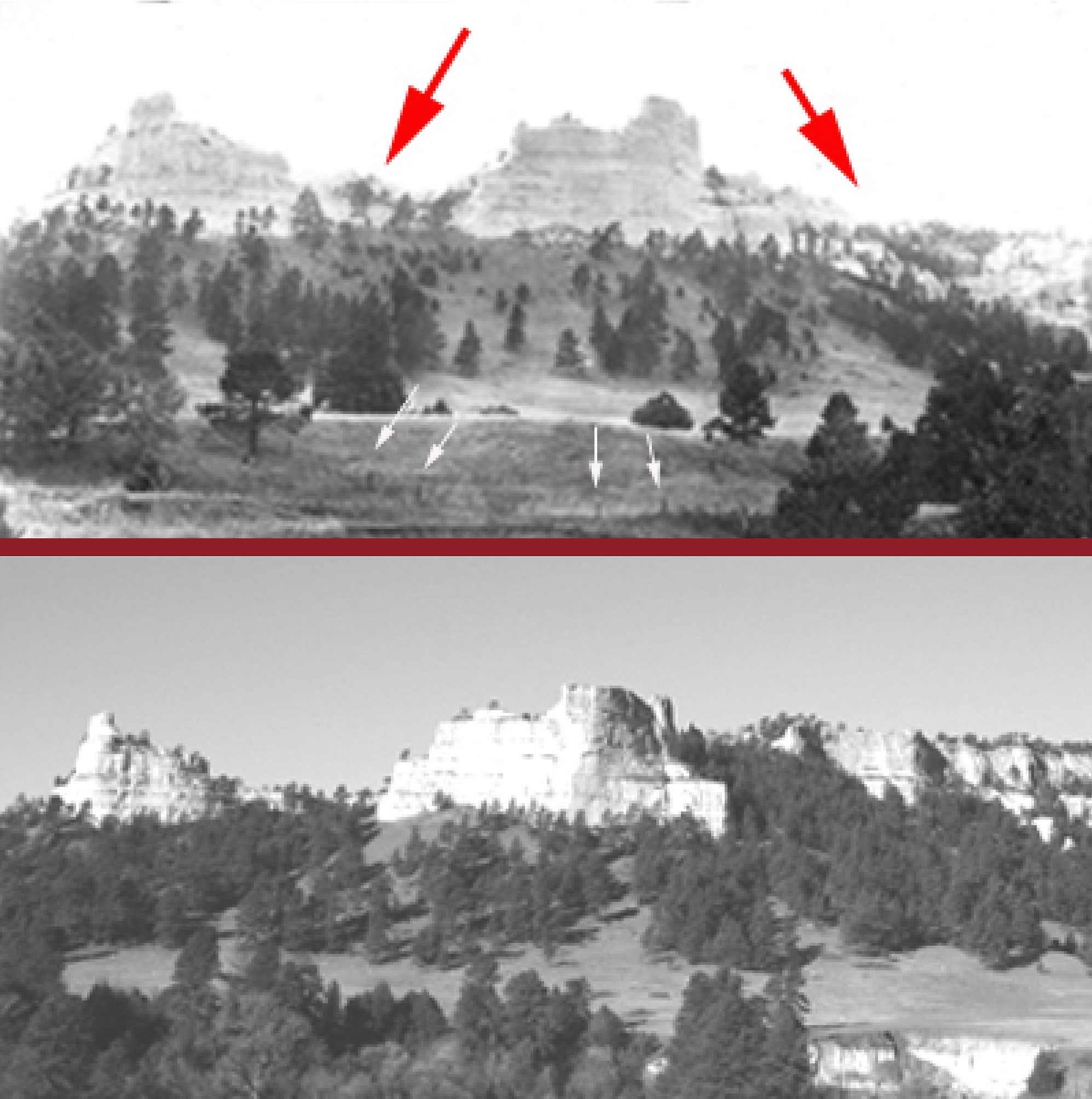
Figure 28
Comparison of Sowbelly's forests in 1924 (top) and 2004 (bottom; color removed to aid comparison). Look especially at the increased density of trees in the areas indicated by red arrows. The small white arrows in the 1924 image point to fence posts that show cattle grazing had already begun here. The top photo is from the Jesse Earl Hyde collection, used with permission. |
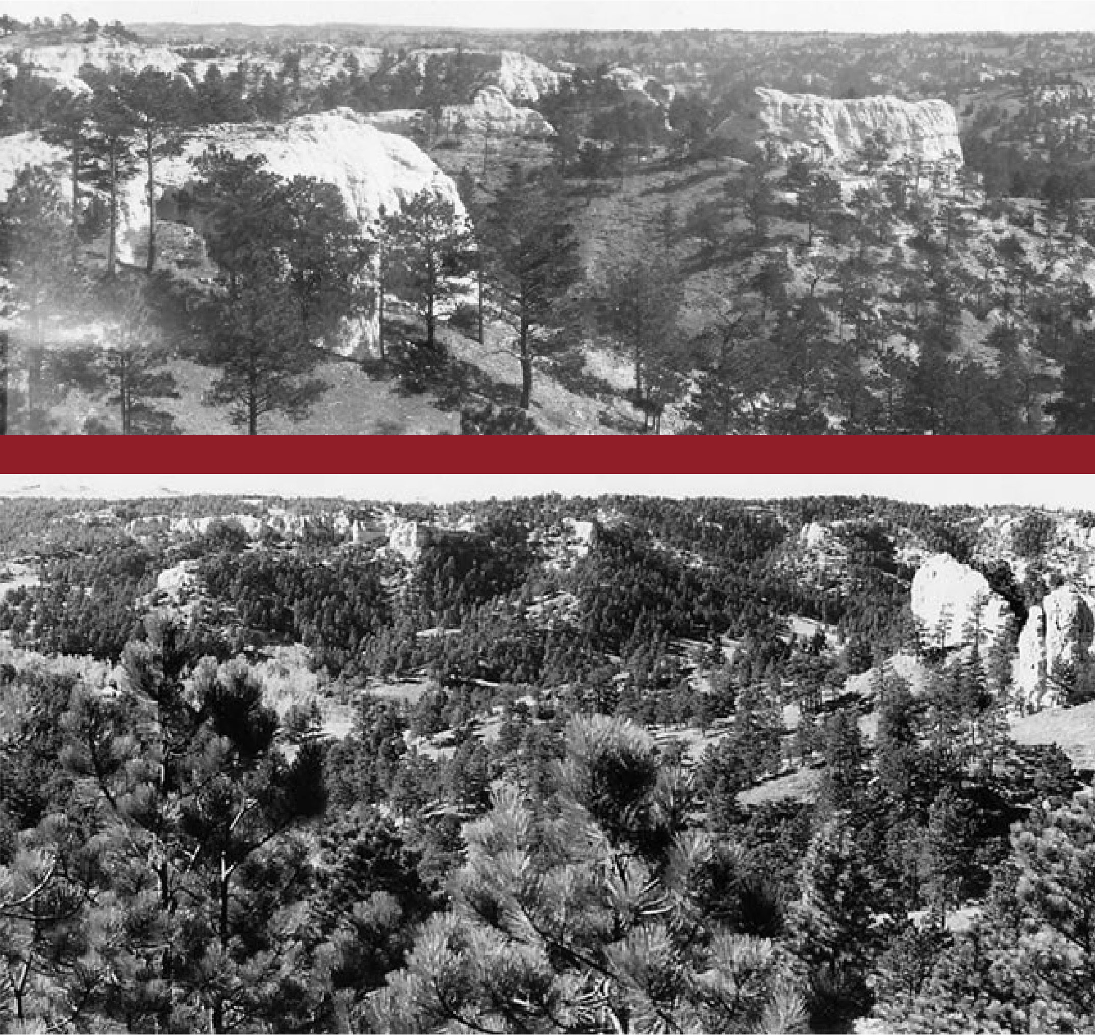
Figure 29
Comparison of the forests near Sowbelly's southeast rim. The top picture, taken in 1924, shows a fairly open forest in which open spaces appear between individual trees. The lower image, taken in 2004, shows a much denser forest in which the visible open spaces are between groups of trees. The top photo is from the Jesse Earl Hyde collection, used with permission. |
Figure 30
Dog-hair forest areas in Sowbelly Canyon (circled, upper image), and the way they burned in the fire (lower image). |
Figure 31
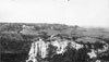
Looking west across Sowbelly Canyon in 1924. Especially notice the density of the forest on the slope in the lower left quadrant of the picture so you can compare it to the same region in the next two photos. Rocks are even visible along the ridge there. This image is from the Jesse Earl Hyde collection, used with permission. |
Figure 32
Looking west across Sowbelly Canyon in 2004. The forest on the slope in the lower left quadrant of the picture has gotten extremely dense in the 80 years since it was photographed in 1924. The rocks on the ridge are no longer visible. |
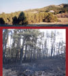
Figure 33

Looking west across Sowbelly Canyon in 2006. The overly-dense forest on the slope in the lower left quadrant of the picture has burned away, restoring a condition much more like that seen in 1924. |
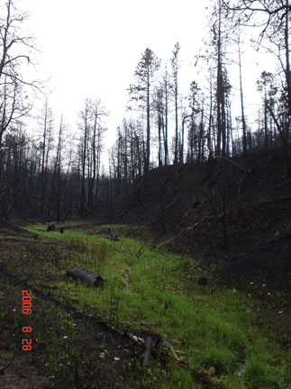
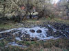
Figure 34
Green grass coming into burned areas in August of 2006, only one month after the burn. |
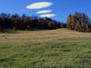
Figure 35
Green grass and even trees in October of 2006. |
Figure 36
A carpet of thick green grass edges up to scorched trees at the margin of a particularly bad burn, November of 2006. |
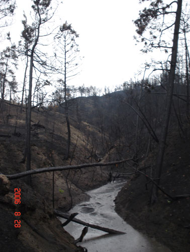
Figure 37
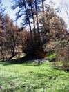
Photo of a ravine very close to our property line, October 2006. The land is starting to recover. |
Figure 38

This is precisely the same ravine shown in Figure 37, six weeks later. The salvage loggers have arrived. The difference in ground cover and soil condition is not due to the time difference between the two images, as demonstrated in Figures 39 and 40. There is a slight difference in perspective been Figures 37 and 38 because the logging restricted where it was possible to stand. |
Figure 39
This area is 50 yards from the place shown in Figure 40, and the picture was taken within moments of when the picture shown in Figure 40 was taken. These two pictures demonstrate that the difference in ground cover and soil conditions seen in Figures 36 through 45 is the result of salvage logging. The place in this image was on our property and so was not logged. |
Figure 40
An area that was salvage logged, within 50 yards of a similar place on our own property that was not logged (Figure 39). Pictures of both places taken at the same time, on the same day, demonstrate that the difference in ground cover and soil conditions seen in Figures 36 through 45 is the result of salvage logging. |
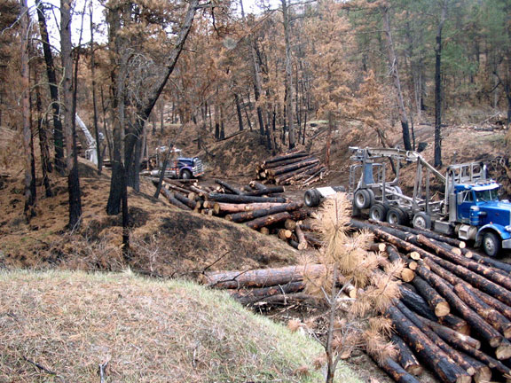
Figure 41
The process of salvage logging has just begun in this photograph. |
Figure 42

"Unmerchantable" branches are removed from "merchantable" dead trees after they're felled by salvage logging. These branches, plus trees too small to sell, branches that still have foliage on them, stumps, and the narrow ends of trunks are left behind as "slash." |
Figure 43

As salvage logging continues, slash piles grow and the land is stripped. The mass of material on the hilltop near the center of the picture is slash. Many slash piles were as big as a large house. |
Figure 44
This mixture of "unmerchantable" trees and huge bits of log is the other kind of detritus left behind, besides the ubiquitous slash piles. Compare this landscape to the one behind it to the right, which was not logged. |
Figure 45
This is the end result of salvage logging. It is not beautiful. It has not healed the land. It is an atrocity. |
Figure 46
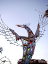
The Phoenix Bird. This regionally iconic sculpture by Paul Coze, made in the early 1960s, is located outside a Phoenix shopping center at 20th Street and Camelback Road. |
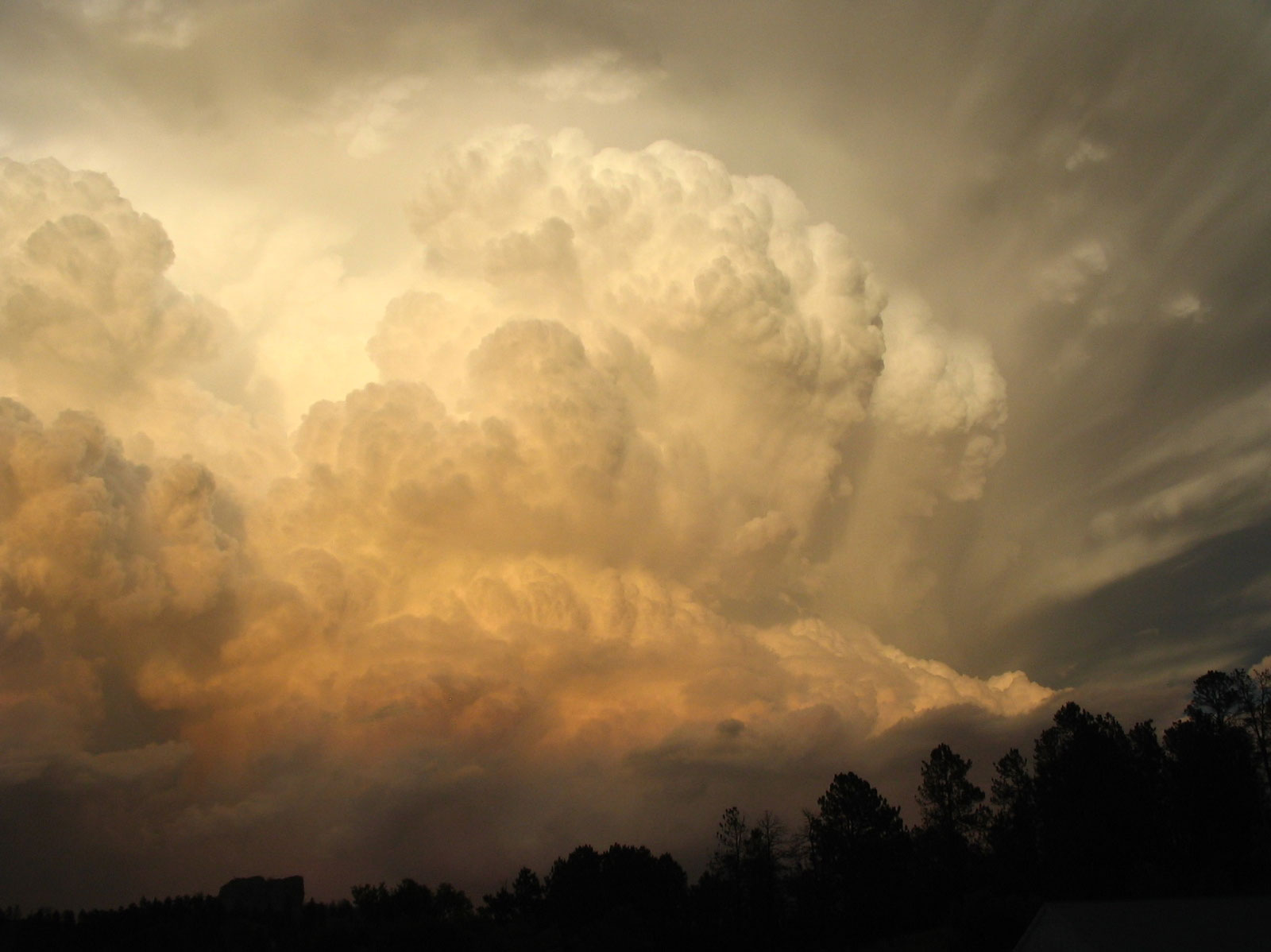
Figure 47
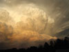
A massive thunderhead that rose over Sowbelly Canyon in August of 2006. It is the West. |
|